File:Map kingsport.png
From The Armitage Files
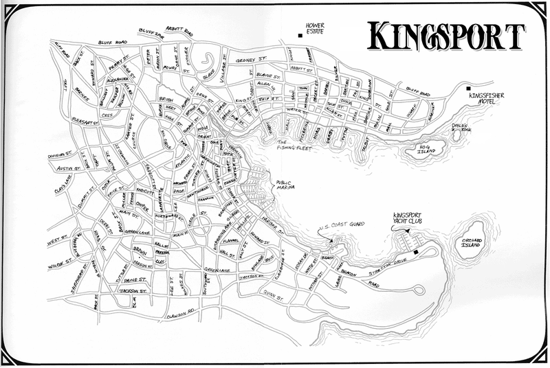
Revision as of 09:37, 17 February 2013 by Thomas (Talk | contribs) (Map of Kingsport, as of the beginning of the investigation into the yacht club.)

Size of this preview: 800 × 536 pixels. Other resolution: 320 × 214 pixels.
Original file (1,350 × 904 pixels, file size: 346 KB, MIME type: image/png)
Map of Kingsport, as of the beginning of the investigation into the yacht club.
File history
Click on a date/time to view the file as it appeared at that time.
| Date/Time | Thumbnail | Dimensions | User | Comment | |
|---|---|---|---|---|---|
| current | 09:38, 17 February 2013 | | 1,350 × 904 (346 KB) | Thomas (Talk | contribs) | Reverted to version as of 17:37, 17 February 2013 |
| 09:38, 17 February 2013 |  | 1,350 × 904 (346 KB) | Thomas (Talk | contribs) | ||
| 09:37, 17 February 2013 |  | 1,350 × 904 (346 KB) | Thomas (Talk | contribs) | Map of Kingsport, as of the beginning of the investigation into the yacht club. |
- You cannot overwrite this file.
File usage
The following file is a duplicate of this file (more details):
There are no pages that link to this file.